


Surveyor Model 2 Stories
Filters

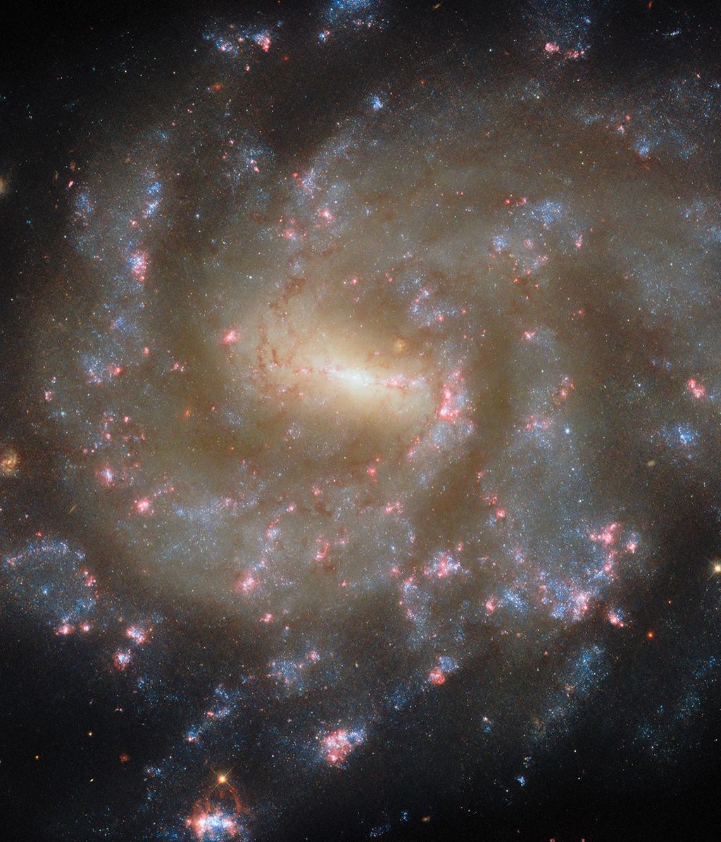
Introduction Tropical cyclones represent a danger to life, property, and the economies of communities. Researchers who study tropical cyclones have focused on remote observations using space-based platforms to image these storms, inform forecasts, better predict landfall, and improve understanding of…

Consisting of 99% air, aerogel is the world’s lightest solid. This unique material has found purpose in several forms — from NASA missions to high fashion. Driven by the desire to create a 3D cloud, Greek artist, Ioannis Michaloudis, learned…

Video Producer – Goddard Space Flight Center What sparked your interest in video production, and what drew you to NASA? Ever since I saw “Star Wars” at nine years old, I knew I wanted to make movies. I would make…

Written by Conor Hayes, Graduate Student at York University Earth planning date: Wednesday, June 4, 2025 We are continuing to look for a suitable location to collect a drilled sample in this area. As you may recall from Monday’s plan,…

As a child in the 1960s, Daniel Eng spent his weekends in New York City’s garment district in Manhattan’s Lower East Side, clipping loose threads off finished clothing. He worked alongside his mother, a seamstress, and his father, a steam…

Written by Henry Manelski, Ph.D. student at Purdue University This week Perseverance continued its gradual descent into the relatively flat terrain outside of Jezero Crater. In this area, the science team expects to find rocks that could be among the…
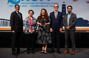
Dr. Natasha Schatzman Receives Vertical Flight Society (VFS) Award In May 2025, Dr. Natasha Schatzman, aerospace engineer in the Aeromechanics Office at NASA Ames Research Center, received the inaugural Alex M. Stoll Award from the Vertical Flight Society (VFS). This…

The 2001 Odyssey spacecraft captured a first-of-its-kind look at Arsia Mons, which dwarfs Earth’s tallest volcanoes. A new panorama from NASA’s 2001 Mars Odyssey orbiter shows one of the Red Planet’s biggest volcanoes, Arsia Mons, poking through a canopy of…

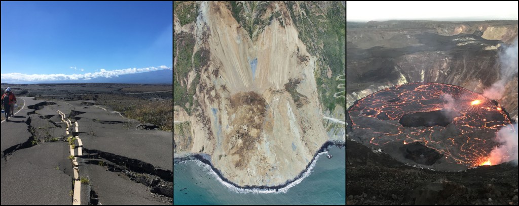
An online tool maps measurements and enables non-experts to understand earthquakes, subsidence, landslides, and other types of land motion. NASA is collaborating with the Alaska Satellite Facility in Fairbanks to create a powerful web-based tool that will show the movement…

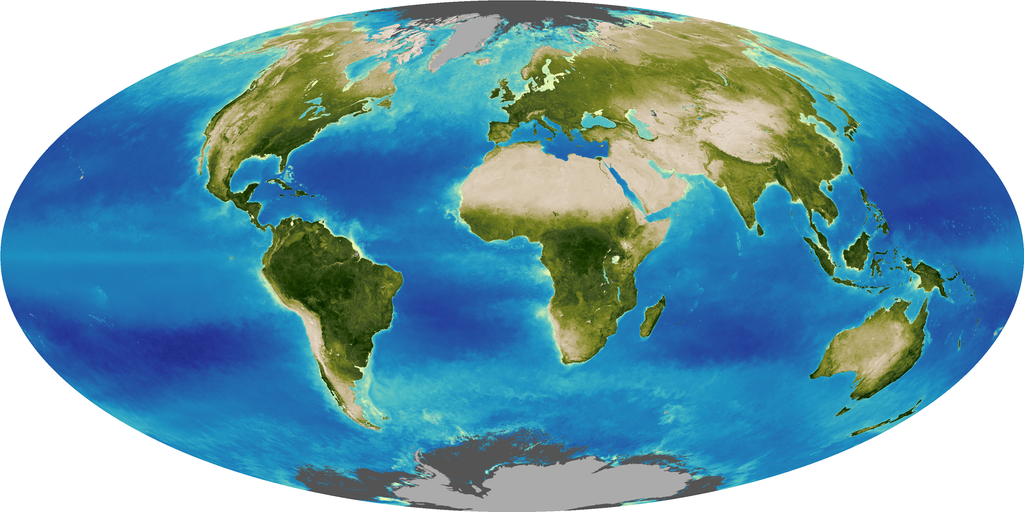
PACE now allows scientists to see three different pigments in vegetation, helping scientists pinpoint even more information about plant health.